Friday 6 April 2007

Ciaran's photographs

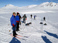
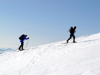
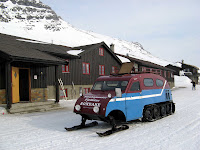
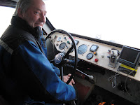
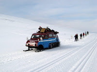
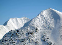
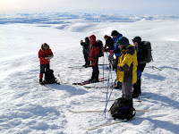
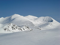
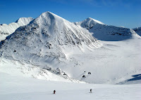
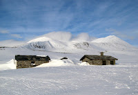
Ciaran sent me a large collection of pictures. These have been compressed, the originals are higher resolution. If wanted for prints (or similar), please ask. Ciaran has more pictures, so if interested in those please get in touch.

The pictures below are available in a single zip file, about 8Mb.

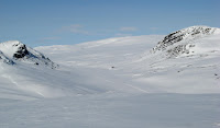
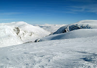
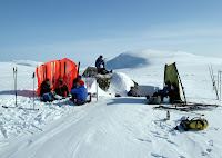
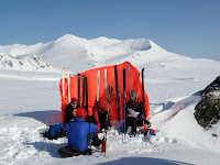



Friday 30 March 2007

Height graph in Excel

I've put the GPX files through Excel and come up with some height profile charts.

Download the Excel File (about 1.25Mb, right-click and "save as" to put copy on your own machine. If you "normal click" and get a password prompt, just cancel the prompt and it should work.)

I've only done four days, if the other two are wanted, ask and I can add them.

Wednesday 28 March 2007

Sarah's Pictures

A dozen or so pictures from Sarah. Clicking on picture should bring up a larger version.

They can also be downloaded in a couple of zip files:

Sarah1, Sarah2


Monday 26 March 2007

Please Send Photographs

Please email me with photographs you wish to share. I have webspace, or can link to a website or photosite of your own (eg. Flickr, Photobox, Fotopic, etc). If there are a lot of pictures, I'll burn CDs and arrange postage.

My own pictures are on 35mm slide. I hope to develop the film before Easter, and if there is time, will scan the best ones.

Fly around ski routes using Google Earth

Google Earth is a tool which is downloaded and run on a Windows PC (not sure if there is a Mac version yet or not). Its a 3D model of the entire world, with loads of features, tricks and tools. If you've not used it, prepare to spend a few hours cruising round the planet !

Anyway, for the Ski trip, I've added the GPS tracks and a scan of the 50:000 map which are overlayed ontop of the Google Earth model.


Static picture from Google Earth

Firstly, if you don't already have Google Earth, download and install the free version. This is quite big, and continually loads data over the internet, so you need Broadband.

Google Earth Website for the download (download button at top right of page)

Then download and save (to somewhere convinient on your computer) the Google Earth data file I created of the Norway trip.

Norway 2007 Google Earth data file

Finally, run the data file, and it should load in Google Earth.

Amongst tricks which can be done easily, is to select a "path" for a particular date, and then use the "Play Tour" command (CTRL-ALT-P in version 4.x or the F10 key in version 3.x) to go around the route of the day's trip.

The transparency of the map can be changed, or it can be made invisible (tick box beside the label in one of the left-hand control windows).

Minor tip; on my machine, mountain areas sometimes look a bit "flat", so I increase the elevation exaggeration to 1.3 or 1.5 (its in the "options" dialogue box).

The satellite data used to make the 3D Google Earth model has a systematic error in northern lattitudes. In the Rondane area, its around 250-300m in the northern direction. Therefore, I shifted all the GPS data northwards to make it approximately align with the 3D model. If anyone wants an "unshifted" version, just ask. (Without the shift, the tracks seem to miss hill tops, we appear to have stopped somewhere up the southern side of Formokampn, etc. )

GPS Raw Data

GPS Raw Data tracks, in GPX format. There are five files. I recommend "right click", then "save as" to download the files.

Whole week waypoints and tracks

Daily GPX tracks (probably higher resolution) for Weds, Thurs, Fri and Sat trips (spot someone who learned another trick the GPS did mid-week).

Wednesday
Thursday
Friday
Saturday